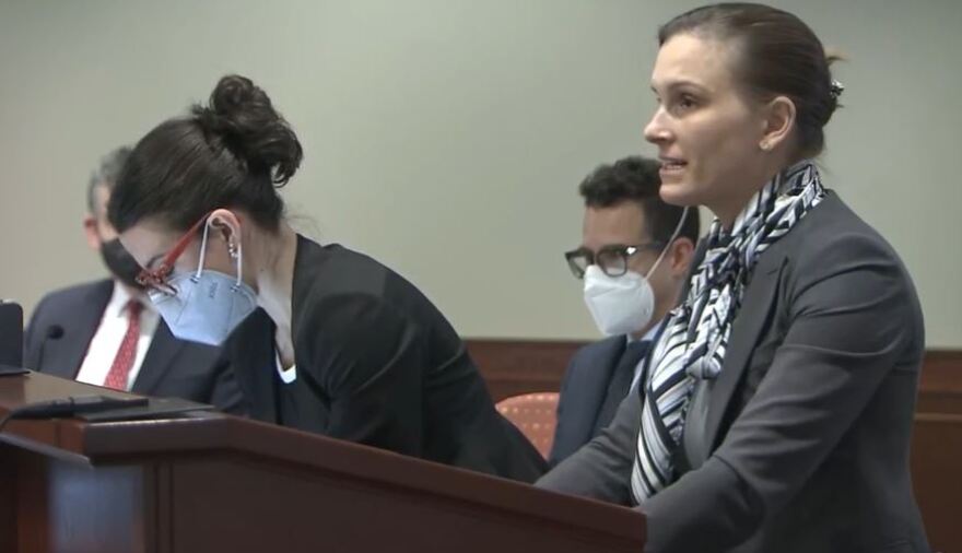
A four-day gerrymandering trial over North Carolina’s congressional and state legislative maps concluded Thursday in Raleigh, with attorneys for the plaintiffs arguing that the political maps disenfranchise Democratic voters while the defense said the dispute only focuses on a small number of seats.
A three-judge panel of Superior Court judges is expected to issue a ruling by Tuesday. Two of the judges are Republicans and one is a Democrat.
The plaintiffs, which include the League of Conservation Voters and Common Cause, relied on the testimony of political scientists and mathematicians. They said the GOP-drawn maps were statistical outliers.
Plaintiffs’ attorney Elisabeth Theodore said Republican mapmakers drew districts that packed Democratic voters while dispersing others to dilute their power. The state’s new congressional map gives the GOP the advantage in 10 of 14 seats. In a wave-year election, Republicans could win 11 of 14 seats.
“After North Carolina gained a seat in Congress this cycle — propelled by overwhelming population growth in Democratic areas — the Democrats will go from five seats to four,” she said.
During cross-examination Wednesday, Republican state Rep. Destin Hall said he consulted with so-called “concept maps” when drawing North Carolina House districts.
That contradicted Republican claims that the map-making process was 100% transparent, with all drawings done on a live stream. The GOP also said it did not use any political and racial data during the process.
Attorney Hillary Klein said it appeared that Hall was using the concept maps when drawing state House districts for Buncombe County.
“We can see again buried in those hours of video Rep. Hall drawing a district, taking a detailed print out, out of the room and then a few days later coming back and scrapping that district and then drawing new district lines in this cluster that would ensure Republican success,” Klein said during her closing statement.
Republicans have noted that one of the plaintiffs, the League of Conservation Voters, has asked the court to enact its own maps which could allow the Democrats to win eight of 14 seats. Those maps were drawn behind closed doors.
Defense attorney Phil Strach, who represented Republican legislative leaders, noted that Democratic voters tend to concentrate in cities. And since the legislature’s criteria for drawing districts called for keeping cities, towns and counties whole, Democrats were at a disadvantage.
Strach questioned whether the computer modeling used by the plaintiff’s witnesses was fair because it sometimes did not emphasize keeping municipalities intact.
“Behind all the plaintiff's complex and shiny exercises, it’s just a man behind the curtain,” Strach said. “As (plaintiff's attorney) Sam Hirsch testified, a computer can’t program itself. Only a person can.”
Strach also said the enacted maps don’t give Republicans much of an advantage. He pointed to the analysis of Michigan political science professor Jowei Chen, a witness for the plaintiffs, that found a congressional map favoring Republicans in nine of 14 seats occurred in more than 70% of his computer-drawn maps.
“Even under the analysis of plaintiffs experts, it’s clear the number of districts at issue, in this case, is marginal at best,” Strach said. “For instance, Dr. Chen says that for Congress, there should be nine Republican districts. But the enacted map allegedly has only 10 Republican districts. That’s just one.”
The judges could enact the League of Conservation Voters maps. They could send the maps back to the legislature, giving the GOP another opportunity. And they could appoint a special master to draw new maps.
If the plaintiffs lose, they will likely appeal to the state Supreme Court, which has a 4-3 Democratic majority.
The state’s highest court delayed the state’s March primaries until May so the question about gerrymandered maps can be decided.


