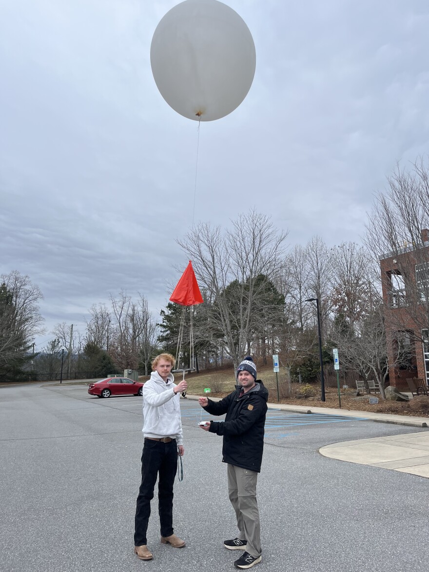
As Western North Carolinians braced for an incoming winter storm last week, professor Doug Miller and his students in the University of North Carolina Asheville’s Department of Atmospheric Sciences weighed a key question: Should they deploy the weather balloon?
Forecasts from the National Weather Service last week showed a high likelihood that a significant winter storm would hit the region, with precipitation ranging from snow to freezing rain and ice that could create dangerous conditions.
Given those early predictions, it was no a brainer for Miller and his crew to launch the balloon to collect atmospheric data.
“ When we see a storm that's going to be rather long-lived or have the potential of creating quite a lot of precipitation — and also, if there's a lot of uncertainty as to what the form of that precipitation is going to be — that's pretty much going to trigger our, ‘Yes. Let's do this,’” Miller said in an interview with BPR.
The weather balloon, which measures about 5 to 6 feet in diameter, carries a box Miller described as a “mini radio station.” The box contains sensors that measure temperature and moisture and track wind speed, wind direction and altitude using GPS.

All those factors then get sent through a radio station which sends a signal to an antenna that Miller and his students have on the ground. The signal is put through software and converted into data that is collected and stored on the department’s computer.
Miller said the information gathered from the balloon is crucial during difficult-to-predict events like Winter Storm Fern.
“Knowing the moisture and the temperature information can really help both forecasters and emergency manager planners to know what to anticipate over the next several hours,” Miller said.
Miller and his students then share that crucial data with the NWS and broadcast meteorologists to provide some type of guidance.
“More often than not, what they see in the weather balloon observations is some sort of pattern or signature that is showing them that the model is a little bit off,” Miller said. “If the model is a little bit off and they can understand in what way it's off, then they can adjust their forecast to make it more accurate.”
The NWS launches weather balloons from hundreds of stations across the United States each day, though it primarily relies on computer models to predict weather.
The closest balloon-launch stations to Asheville are in Greensboro and Charlotte, North Carolina, and Nashville, Tennessee. The distance from western North Carolina makes accurate forecasting in the mountains more challenging, where atmospheric conditions can vary significantly.
Jake Wimberley, a meteorologist at the National Weather Service, Greenville-Spartanburg office, told BPR that the terrain variation in the mountains makes weather prognosis difficult.
“ The mountains create weather and if you have moist air that flows up the sides of mountains, it tends to mix cloud and precipitation,” Wimberley said. “For that reason, the mountains southwest of Asheville are some of the wettest places in the Eastern U.S. just because they can either have this moist air flowing up from the Gulf (of Mexico) or in from the Atlantic (Ocean).”
He added that the agency relies a lot on the observations of small, automated stations, and cooperative observers like Miller and his students at UNCA, but he acknowledged that it’s always a challenge to forecast in the mountains.
“We're always trying to learn when we forecast an event and it doesn't work out the way we expected,” Miller said.
The data from the weather balloon observation launch at UNCA will eventually be posted here.


